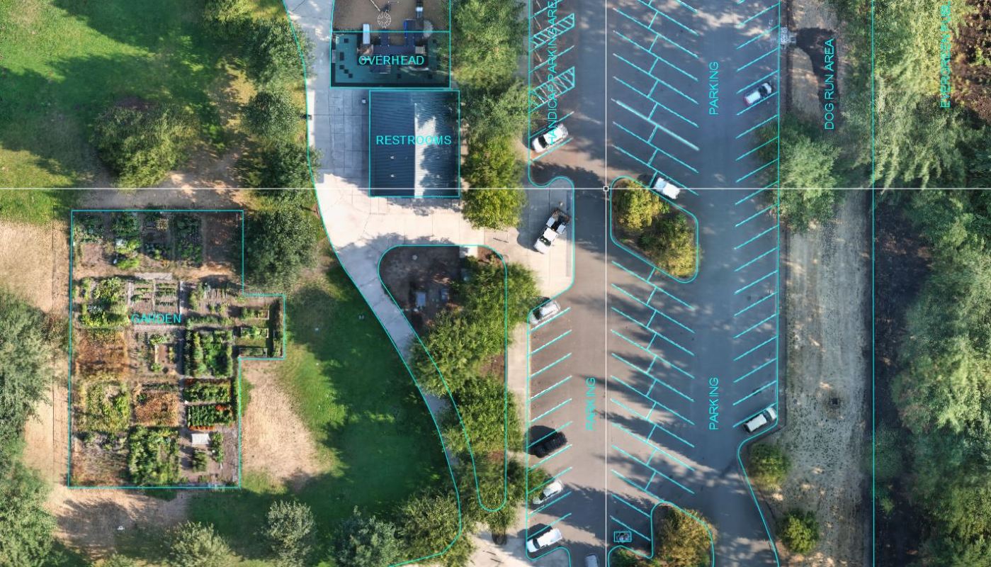
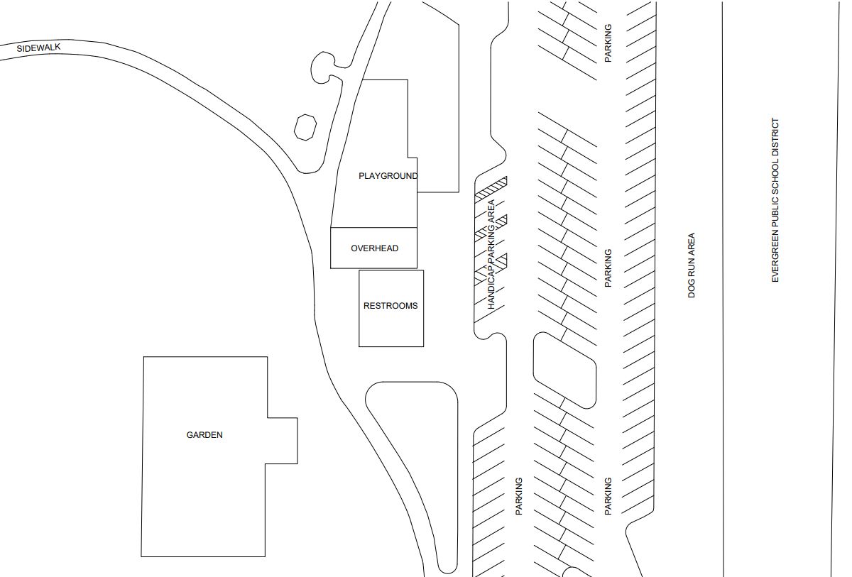
This is a typical example of a map created using a drone. A map created using a drone shows a detailed view of the park, including greenery, the playground, and the walking paths. The map has a superimposed layer created in AutoCAD shown in cyan which makes it easy to identify different features in the park.
Drones are a very accurate way to create maps reflecting the most recent state of the area. They can fly over areas that would be difficult or impossible to reach by foot, and they can capture high-resolution images that can be used to capture detailed images. Drone services are also relatively affordable and easy to use, which makes them a popular choice for businesses and organizations that need immediate mapping services for a particular area.
In addition to mapping, drones can also be used for a variety of other purposes, including current construction project status, real estate advertisement, and other applications that require photography, and videography.
Legal Note:
This park is located in non-controlled air space, and as of the date of this posting under the control of Vancouver Parks and Recreation with no drone restrictions.
To see what locations are in controlled or non-controlled air space, visit the FAA UAS Data Map online.
To view Vancouver, Washington’s park code visit the park code website.
